RTK Survey Meter for Intelligent Agriculture


RTK GNSS survey antenna for Intelligant Agriculture
Product Overview
This Cube RTK high-precision satellite locator (GNSS receiver) is a high-precision satellite positioning device using the latest technical solutions. It is small in size, light in weight, high in precision and full in function. It can be used as a reference station or a measurement station. It is a high-precision positioning device. The preferred device for measurement.
Cube RTK has built-in high-precision satellite positioning module with full-frequency point or four-system eight-frequency point, high-precision measurement satellite receiving antenna, IMU tilt measurement module, 4G CAT1 full Netcom communication module, WIFI communication module, dual-mode Bluetooth 5.2 communication module , PD fast charging module, built-in large-capacity battery for up to 15 hours of battery life, support 4G&Bluetooth differential and upload RTCM data through 4G, WIF.
Key Features
| Two working modes | Felexible Setting | Multi communication method | Tilt measure calibration |
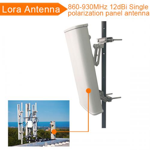
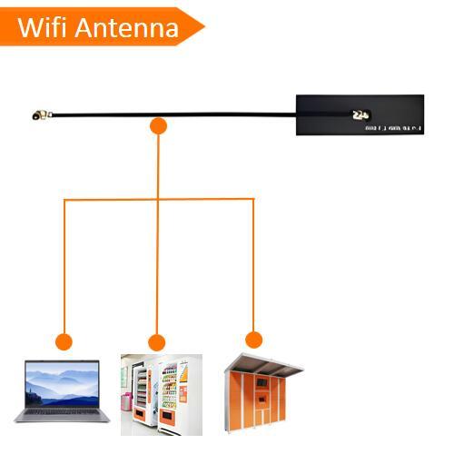
| Users can choose one of two modes, base station mode and measuring station mode. In the measuring station mode, you can choose to open or close the inertial navigation tilt measurement function. | Users can customize the enabled constellation, frequency point, positioning frequency, and minimum elevation angle. | Wireless communication, 4G, WIFI, LORA, Bluetooth. Users can query the status of the data card, recharge, WIFI hotspot settings, and LORA communication settings through the applet or APP. | The antenna has tilt measure calibration function, which user just need to simple move the antenna rode, in few seconds the antenna can entry fixed station. |
| Satellite Positioning Parameter | ||
| Satellite | BDS,GPS, GLONASS, Gallileo, QZSS | |
| Frequency | BDS | B1l,B2l,B3l,B1C,B2a,B2b1 |
| GPS | L1 C/A, L1C1,L2P(Y),L2C,L5 | |
| GLONASS | L1,L2 | |
| Gallileo | E1, E5a, E5b | |
| QZSS | L1,L2, L5 | |
| Positioning accuracy | RTK | Plane: 0.8cm+1ppm, Elevation:1.5cm+1ppm |
| Tilt Calibration | Accuracy: 2.0cm(within 30°), tilt measurement function is optional | |
| Data format | Input difference date format RTCM3.3, Output position data format NMEA0183, 1HZ(Customizable) | |
| Wireless technology Parameter | ||
| 4G | LTE-FDD:B1/B3/B5/B8 | |
| LTD-TDD: B34/B38/B39/B40/B41 | ||
| WiFi | IEEE802.11b/g/n | |
| Bluetooth | BT 5.2 BR/EDR/BLE | |
| General Specification | ||
| Dimension | 104*104*65mm | |
| Weight | 450g | |
| Bottom Thread | 3/8 inch | |
| Battery Capacity | >= 6000mAh | |
| Battery life | 15 hours | |
| Terminal | Type C | |
| SIM card | Patch Card/Plug Card | |
| TF card | Optional 16-128GB | |
| Protection | IP65 | |
Application:
This RTK survey instrument can be widely used on UAV, lawnmower and other auto operation instruments